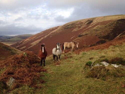
The intrepid adventure seeker will want to walk ancient paths, cycle or ride horseback along moorland, hill and forest bridleways. To truly discover the Cambrian Mountains you should try a combination of them all.

Llangurig to Aberystwyth
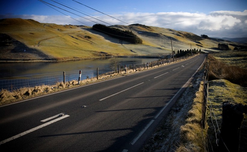
Linking Oxford and Aberystwyth, the A44 also links the A470 Cambrian Way with the A487 Wales Coastal Way.
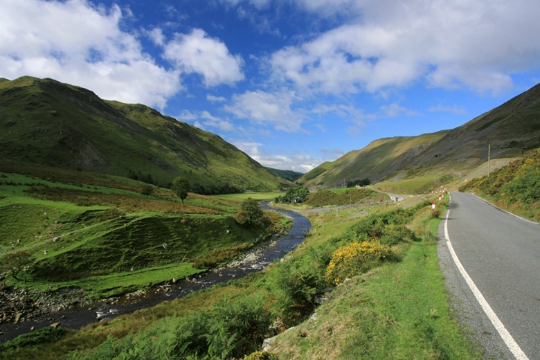
The route crosses the Cambrian Mountains from Llangurig and starts clinging to hillsides as it winds its way along the upper reaches of the River Wye to Eisteddfa Gurig - the highest point (1339 feet /408 metres), and the starting point for one of the routes to the summit of Pumlumon.
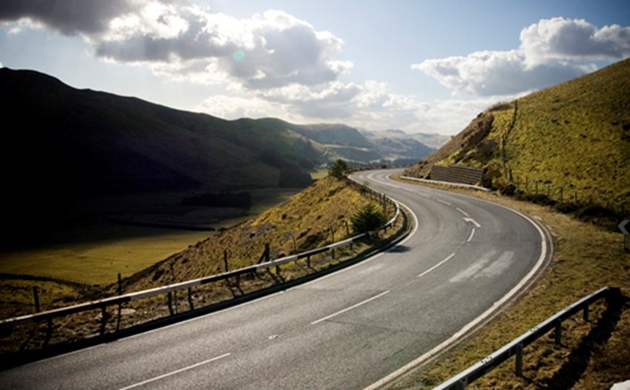
From this watershed, the road starts descending along a series of sweeping bends to Ponterwyd.

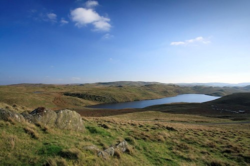
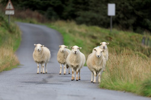
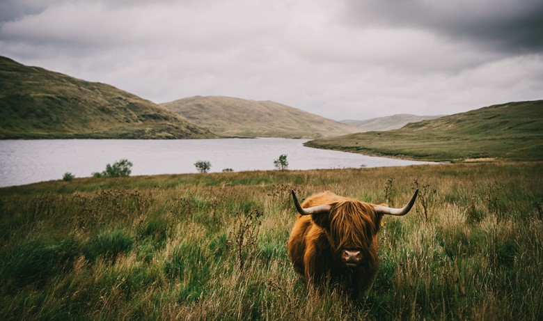
Here you can turn from the main road for the reservoirs of Nant y Moch, and the start points of other routes to Pumlumon. This is one of the closed road sections of Wales Rally GB, but at quieter times, you'll need to look out for dozing sheep on the road, and perhaps a few highland cattle.
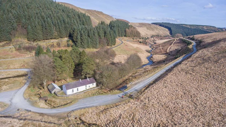
Once over the reservoir's main dam you can follow the mountain road seen in the TV series, Hinterland, to Talybont, which is on the main coastal route of the A487, and one of the main settlements of the Dyfi Biosphere.
Turn south towards Devil’s Bridge, and an alternative route to Aberystwyth along the A4121, that follows a high ridge above the Rheidol valley.
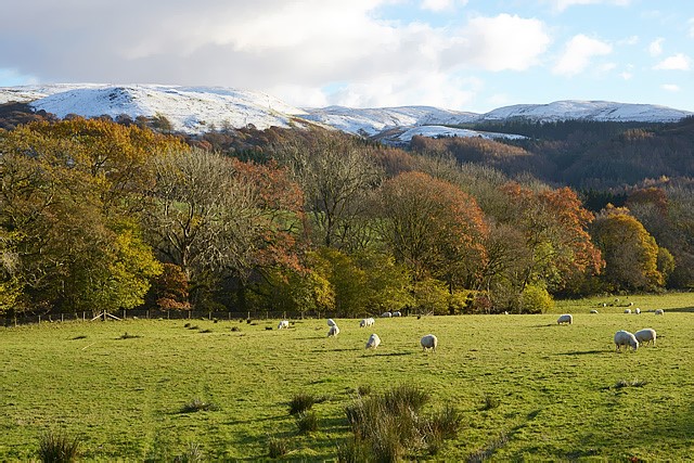
Carrying on along the A44 you will reach Llywernog and the Silver Mountain Experience and Bwlch Nant yr Arian, (the gap of the silver stream) where there are great mountain biking trails across the mountain moorland and a Red Kite feeding centre.
Continue the descent through Goginan to Capel Bangor, where the Rheidol meanders through its widening valley to reach Aberystwyth.
Elan Valley to Cwmystwyth
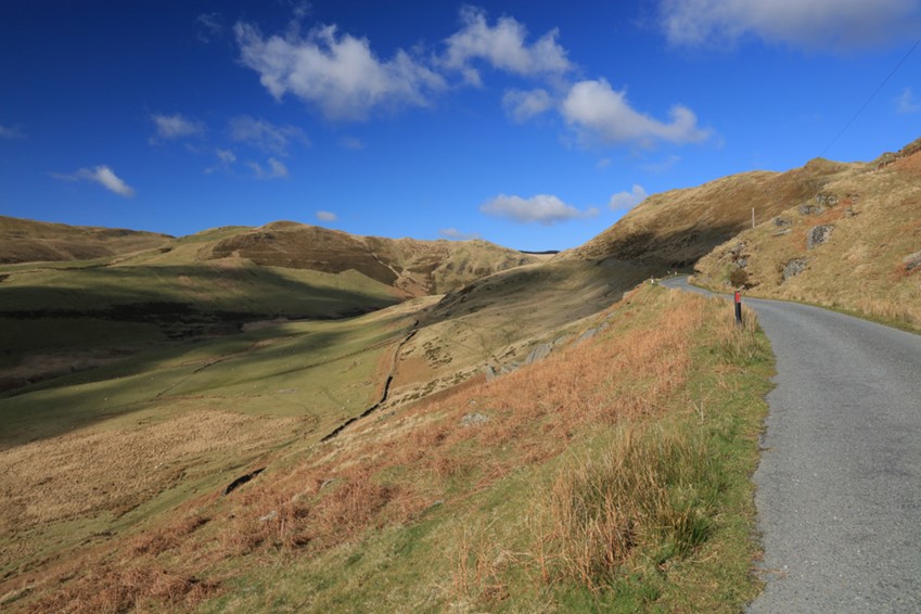
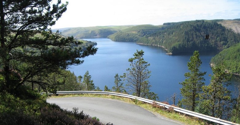
For an exhilarating drive into Ceredigion, turn from the A470 Cambrian Way at Rhayadr, and follow the signs for the Elan Valley. Explore the lakes and then take the B4574 road to Cwmystwyth - recognised as one of Britain’s most scenic routes.
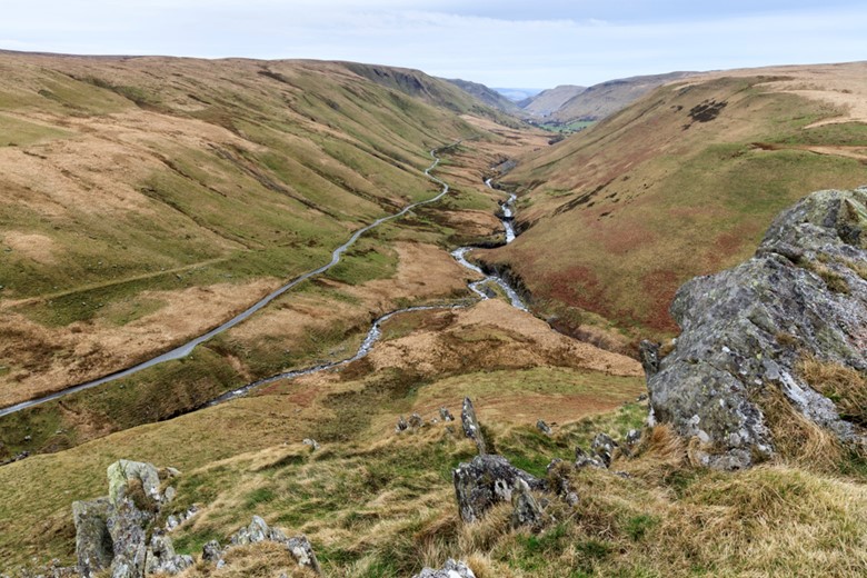
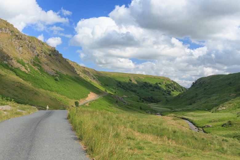
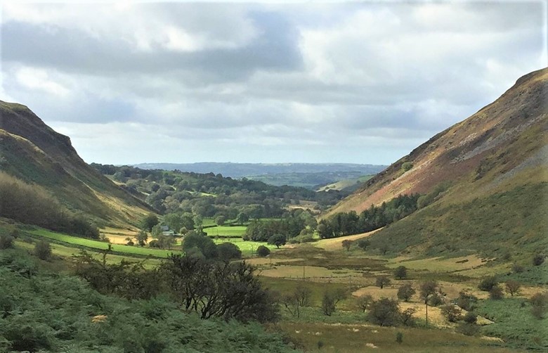
The single track road descends from a rocky col at the end of the vast moorland plateau at the upper reaches of the Elan valley. It follows the young Ystwyth river into a valley clearly carved by a glacier. The rocky scree on the steep sided valley is mixed with huge spoil heaps and abandoned buildings – eerie reminders of the valley’s once booming mineral mining industry.
After passing through the cluster of houses and chapel that comprise the village of Cwmystwyth, the road sweeps through ancient oak woodland.
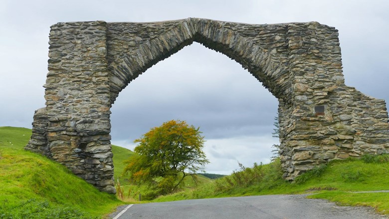
Take a fork to the left for the Picturesque Hafod woodland estate and the village of Pontrhydygroes, or continue along the B4575 towards Devil’s Bridge and its famous waterfalls.
On the brow of a hill before the final descent into Devil’s Bridge is a stone archway, built to mark King George III’s Golden Jubilee in 1810.
The Abergwesyn Pass to Tregaron
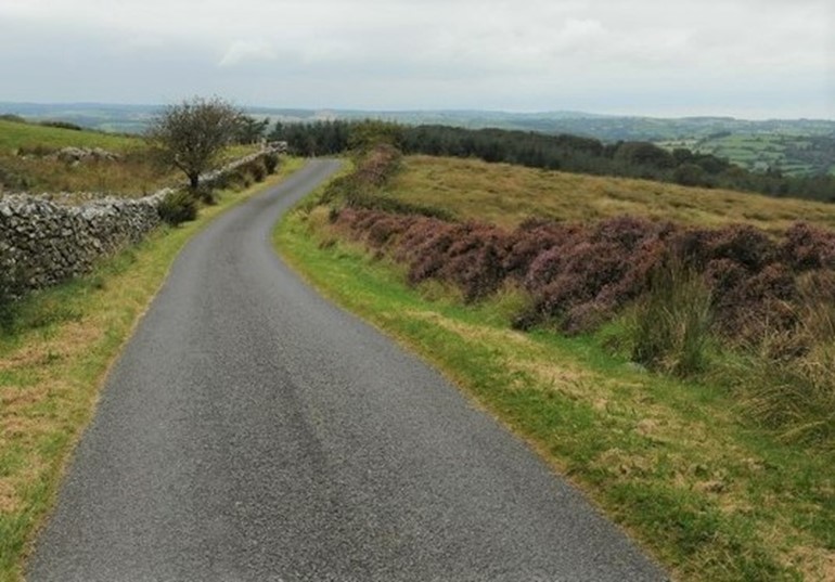
The 20 miles of single track road between the former mountain spa town of Llanwrtyd Wells on the A483 and Tregaron might seem longer than the signs indicate, but you'll want to take your time for the views and maybe to stop at Cwm Gwesyn’s waterfalls and plunge pools, which are popular picnic spots.
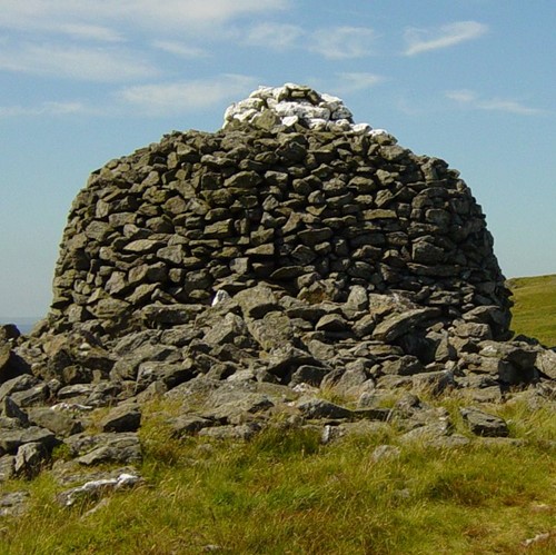
A Bronze Age cairn sits atop Drygarn Fawr, the highest, and certainly the most remote point on the vast Abergwesyn commons, with far-reaching views to Pumlumon and the Brecon Beacons.
The lowest of gears are needed to navigate the hairpin bends of the Devils Staircase, notorious with drivers and cyclists alike.
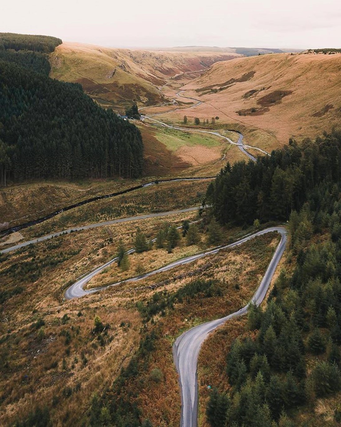
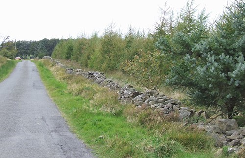
The landscape is wild, open moorland, edged by pine forests. Rocky outcrops create cascades and pools on the rushing mountain streams, and you may have to wait for sheep to move from the warm afternoon tarmac, nonchalantly chewing the cud.
Cattle grids, a couple of low bridges over fast flowing streams (which do become impassable when these spate rivers are in full flow after a heavy winter downpour in the hills), a few abandoned stone sheepfolds or cottages are the few signs of human presence in these hills. A lone red telephone and post box mark the point where the road crosses the Camddwr valley.
Follow the signs to Soar y Mynydd – the remote, whitewashed stone chapel, built to service the shepherding community of the hills. Nearby is Llyn Brianne, a reservoir skirted by a road that will lead you to Rhandirmwyn and the RSPB woodland nature reserve of Gwenffrwd Dinas where the cave associated with Tregaron’s Twm Sion Cati is to be found.
As the road finally descends between the steep crags of the Cwm Berwyn valley towards Tregaron, the woods become broadleaved – oak, ash, birch and roan, and the lush dairy meadows of the upper Teifi valley beckon.
A route to Lampeter and the coast
The A482 road winds its way over the southern shoulder of the Cambrian Mountains to Aberaeron on the Ceredigion coast via Lampeter. The road starts climbing from the Tywi valley in Carmarthenshire at Llanwrda, near Llandovery. Its meandering route is through deep wooded valleys and over a series of broad ridges that separate the Tywi, Cothi and Teifi rivers. Passing the Roman goldmines of Dolaucothi at Pumpsaint, the main road crosses the Cothi and then the Twrch rivers.
Near here you can turn north to follow the route of the old Roman road known as Sarn Helen, now a scenic single track road across the mountain towards Llanfair Clydogau in Ceredigion's Teifi Valley.
If you continue along the A482, you'll see the Teifi marking its way across the hills as you descend through Cwmann onto the broad valley floor and its watermeadows. You'll finally cross the river, over St Stephens bridge (the St Steffan of the town's full Welsh name, Llanbedr Pont Steffan) into Lampeter.