‘a lofty mountain in the far distance, a hill right before me,
and on my left, a meadow overhung by the southern hill’.
Largely unchanged, the mountains are equally beautiful in the green cloak of summer, autumnal purple and gold of sedges and heather, or the crisp white of untouched winter snow.
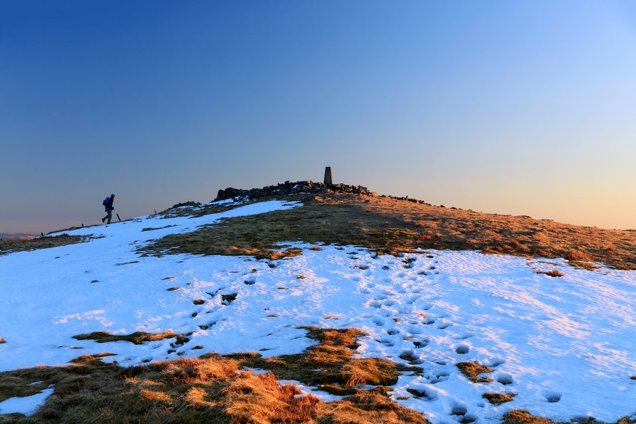
The Cambrian Mountains may have few distinct peaks, but climb Pumlumon - to the highest of its five summits ('five' in Welsh is 'pump') - for unbroken views as far as the mountains of Snowdonia and Llyn Peninsula to the north, and the Brecon Beacons and Pembrokeshire to the south. The remotest part of the mountains is the area called Elenydd - an area of internationally important blanket bog blanket and breeding site for the red kite, merlin and peregrine falcon.
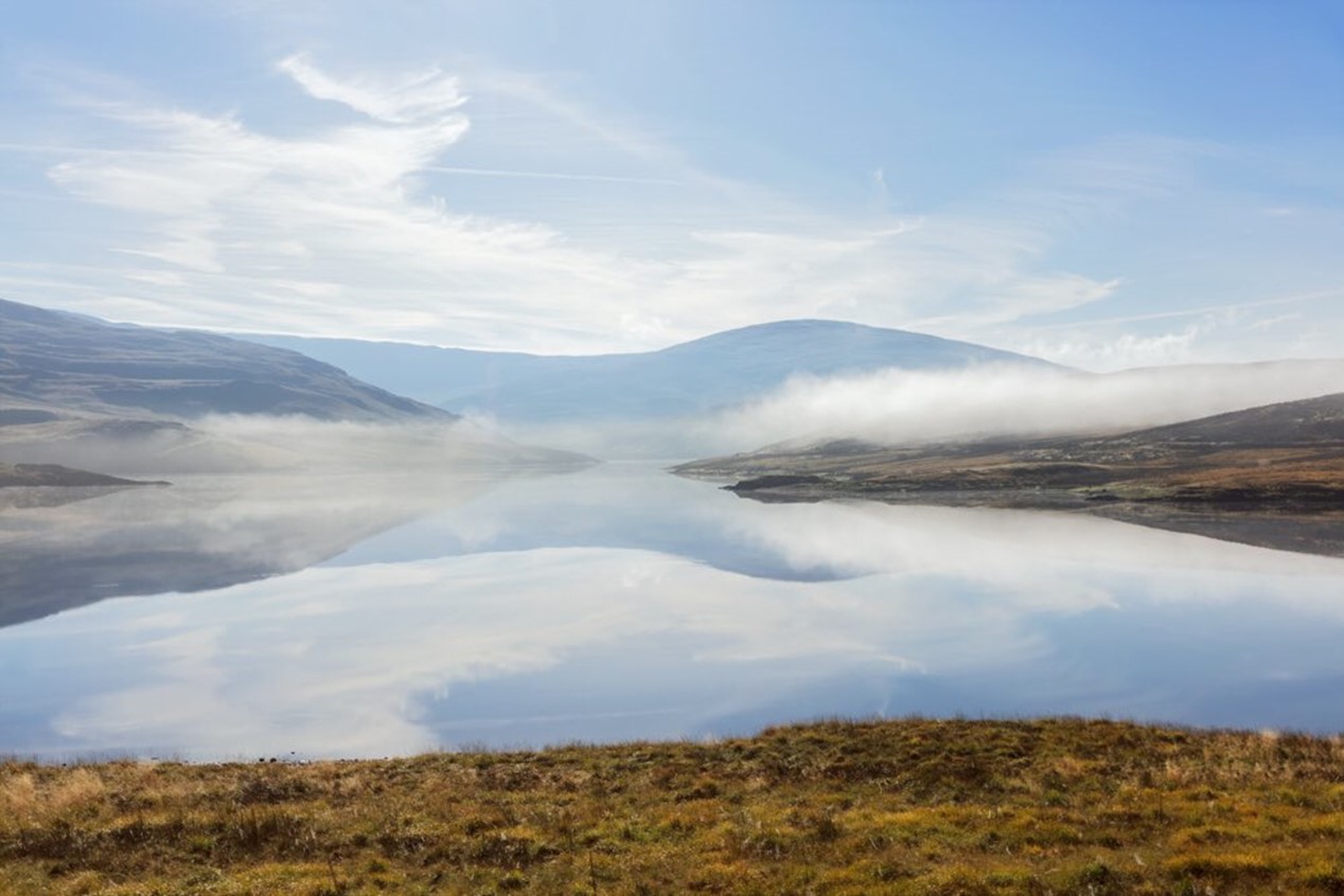
The rivers, lakes and reservoirs of the Cambrian Mountains
Several rivers rise within a few miles of each other on the slopes of the Cambrian Mountains. Britain's longest river - the Severn and the Picturesque Wye rise within less than a mile of each other on the eastern slopes of Pumlumon. A legend tells how these beautiful rivers, and one of Ceredigion's many short and rapid rivers, the Ystwyth, reached the sea - Sabrina, the Severn (or in Welsh, Hafren) taking a leisurely journey east before turning south, even crossing the border into England; the Wye, taking a similar, but shorter, route south and east, whilst spirited little Ystwyth, who got up later than the others, dashed quickly to the west, rushing into Cardigan Bay at Aberystwyth.
The longest rivers in Wales also rise not far from each other on the Elenydd range - the Tywi heading south into Carmarthen Bay, whilst the Teifi flows in a long sweeping crescent to Cardigan Bay, defining Ceredigion's natural southern border.
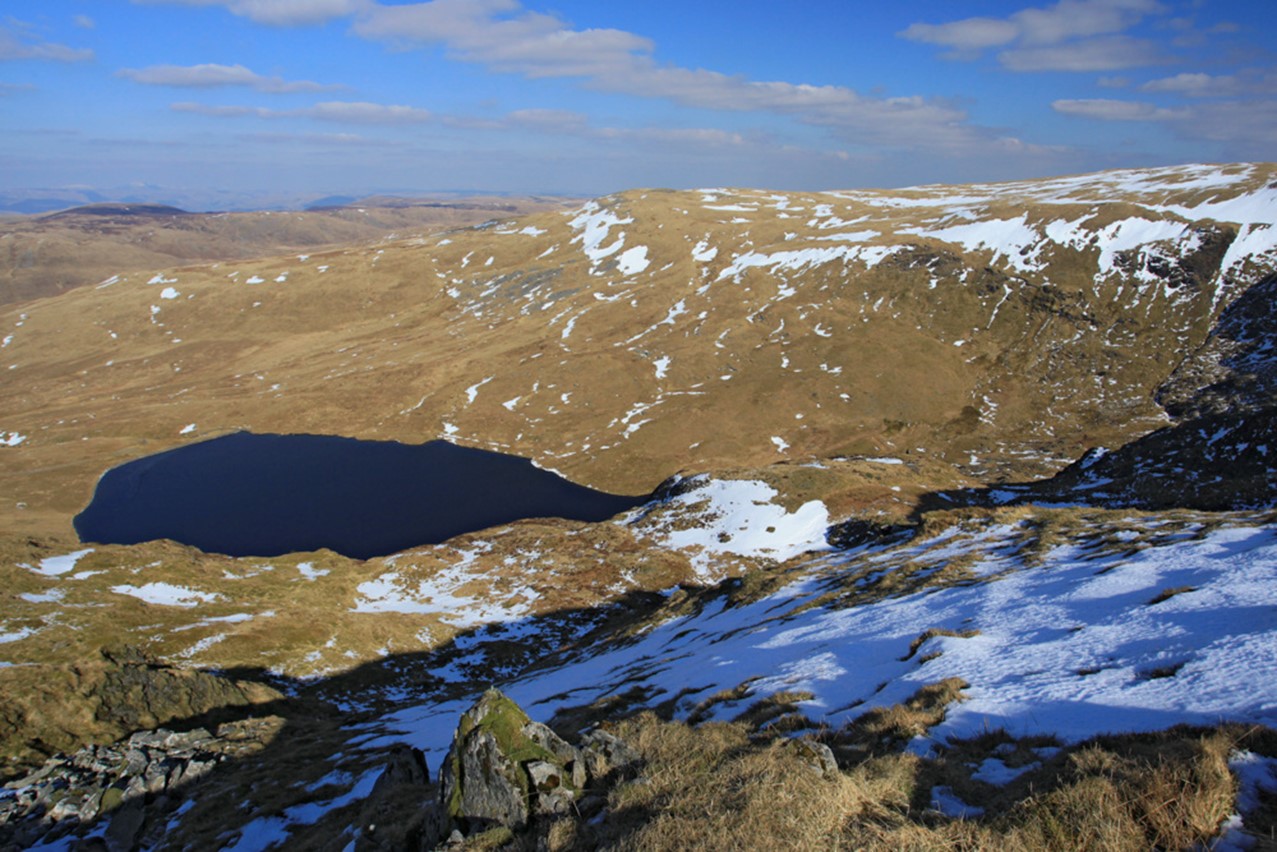
Ceredigion’s uplands are characterised by small lakes, often the remains of glacier activity. The source of the River Rheidol - Llyn Llygad Rheidol (the lake of the eye of Rheidol) on the north slope of Pumlumon occupies a moraine dammed corrie - a hollow gouged from the side of the mountain by glacier ice.
Teifi Pools is the collective name for Llyn Teifi, Llyn Hir, Llyn Gorlan, and Llyn Egnant which lie at about 1,500 ft (455 meters) near the village of Pontrhydfendigaid. The lakes, located near the ruins of the Cistercian abbey of Strata Florida are deep enough to be believed to be unfathomable and were famous even in medieval times for the quality of their eel and trout fishing.
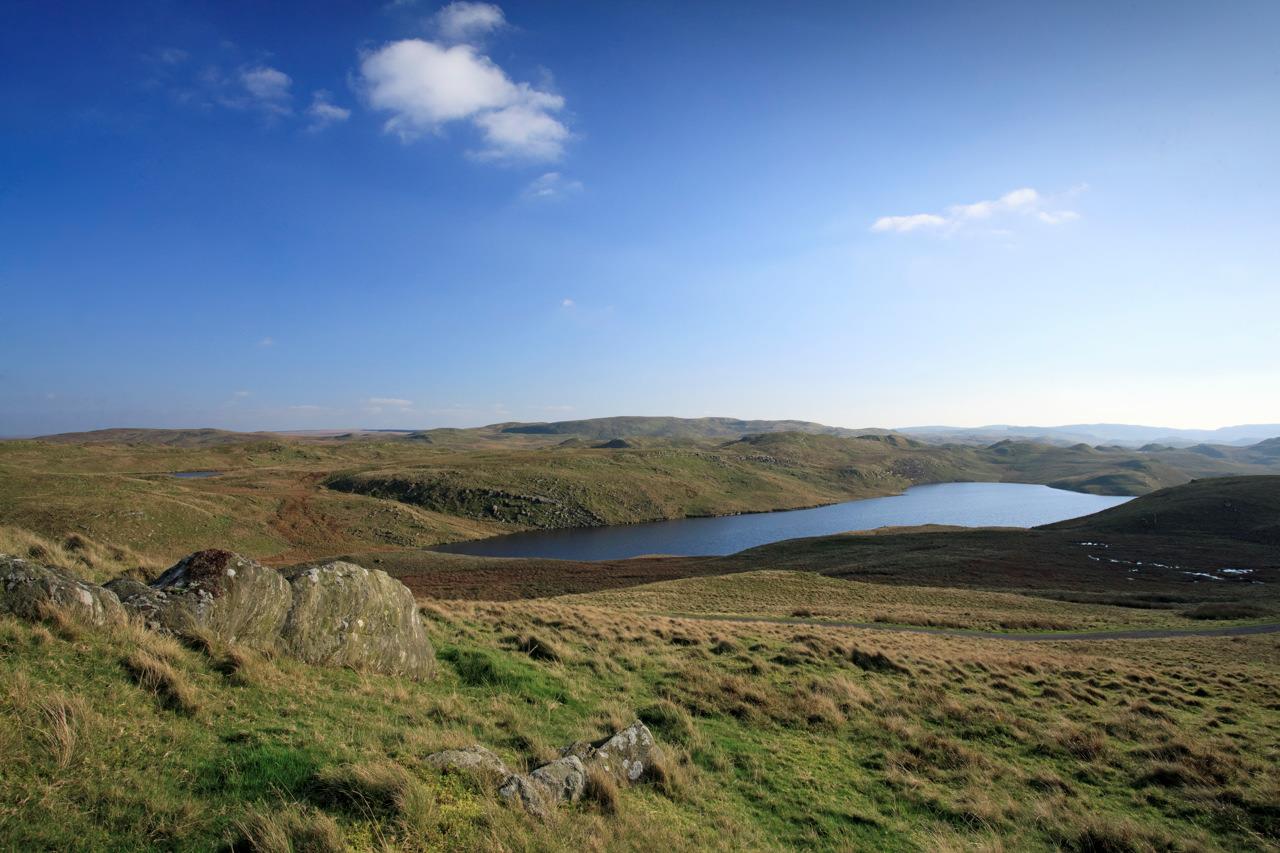
The Cambrian Mountains are known for their reservoirs, from the historic series of lakes in the Claerwen, Elan and Clywedog Valleys in the east to Nant y Moch and the Rheidol valley in the west.
Pumlumon and the silver mountains
Pumlumon Fawr is the highest mountain in the Cambrian Mountains, and at 752 ( 2,467 feet) the highest point between Cadair Idris in southern Snowdonia and Pen y Fan in the Brecon Beacons. There are four other Pumlumon summits:
Pen Pumlumon Arwystli (741m 2,431 feet) Pen Pumlumon Llygad-bychan (727m 2,385 feet) Pumlumon Fach ( 668m 2,192 feet) and Pumlumon Cwmbiga (622m 2,040 feet) A sixth peak, Y Garn ( 6,84m, 2,244 feet) also forms part of the group.
Mining for precious metals was an important part of the economy of the Cambrian Mountains from ancient times. The alternative, anglicized spelling - Plynlymon - also hints at the silver and lead - the Welsh for lead is 'plwm' from the Latin 'plumbum' - that attracted miners to the area.
Now eerily quiet, broken only by the song of skylarks or the cry of red kites, the dramatic remains of an industrial past are scattered across the landscape, from restored waterwheels and chimneys at Pontrhydygroes and Cwmsymlog, the abandoned mills of Cwm Ystwyth, and the unusual mine spoil heap known as 'the stag' seen in the wood on the hillside of Cwm Rheidol, best seen on a trip on the Vale of Rheidol Railway.

Elenydd - haven of peace and tranquility in the Cambrian Mountains
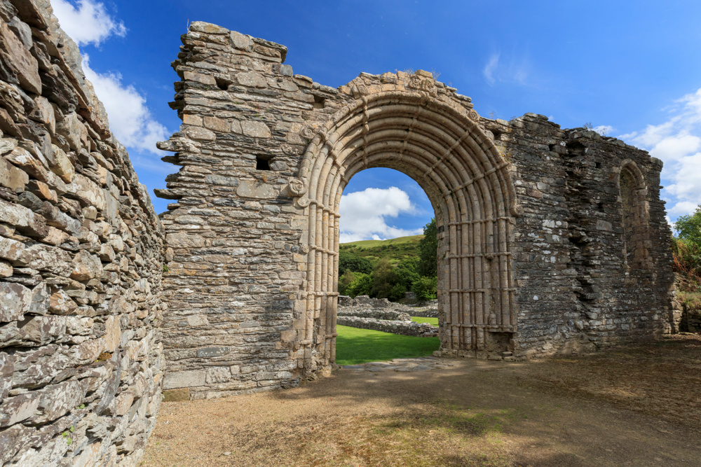
The Cistercian monks of Strata Florida abbey farmed vast estates in the Cambrian Mountains, and the tracks used by them were later developed by the drovers to take livestock to markets in England. The monks not only copied manuscripts of poetry, and guarded what may be the Holy Grail, but also mined for minerals in the surrounding hills. Recent archaeological studies have revealed the massive extent of the abbey's precincts, including industrial remains.
Capel Soar y Mynydd, often called the most remote chapel in Wales, is a Welsh Calvinist Methodist Chapel which was built in 1822 to serve the hill farmers of the remote upper valleys.
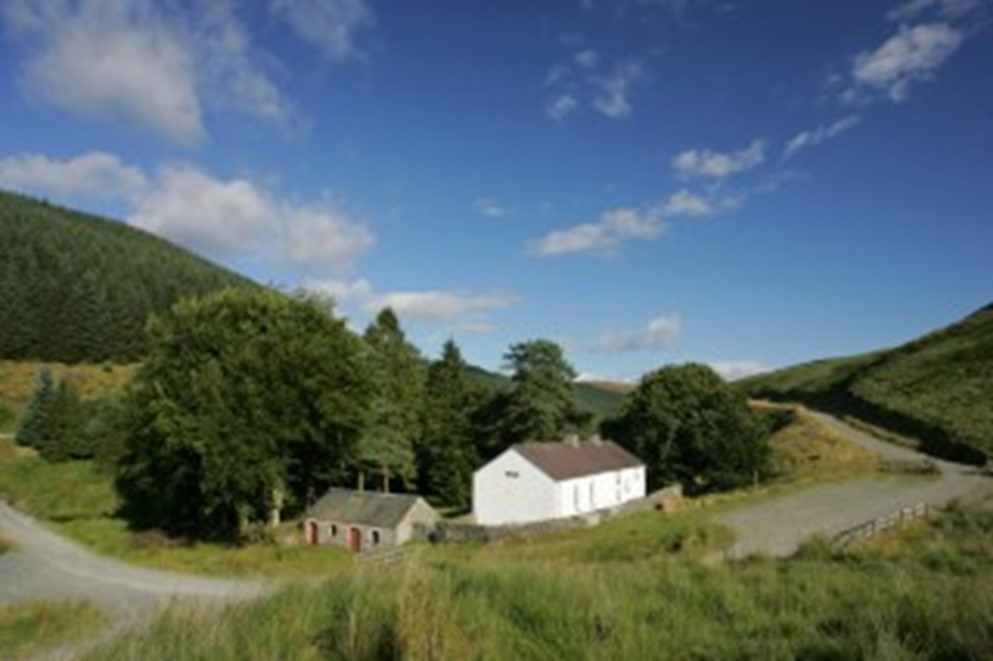
Today Soar y Mynydd chapel is still a site of active worship and visitors continue to make their pilgrimage to this hauntingly beautiful site from all over the world. It is reached along a single track metalled mountain road from Tregaron that continues over to Abergwesyn in Powys, or by or skirting the Brianne Reservoir from Rhandirmwyn in Carmarthenshire. A beautiful route from Llanddewi Brefi in the Teifi Valley takes you along an ancient mountain track, once used by the drovers to take animals over the mountains to markets in England.