Ceredigion's coast - a special area for wildlife
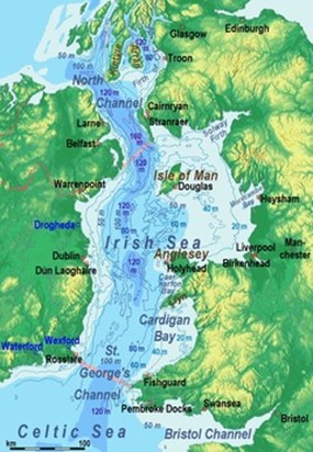
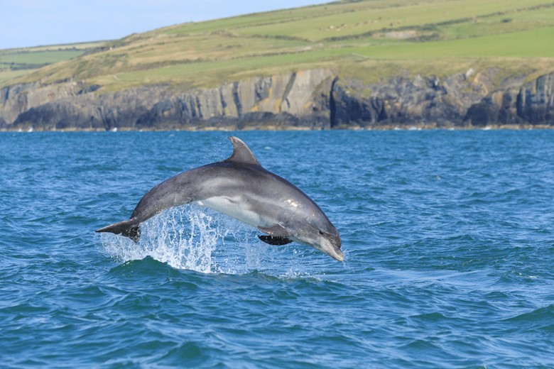
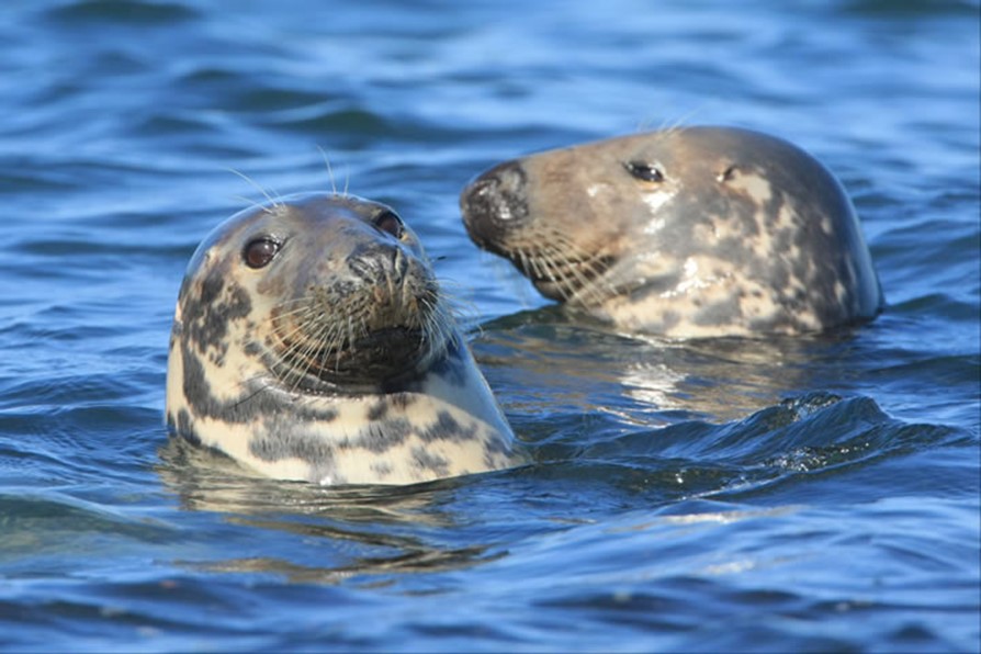
Ceredigion's coast is rich in wildlife and much of the coast is protected as Special Areas of Conservation. Home to the biggest population in Europe of bottlenose dolphins, the Cardigan Bay Special Area of Conservation (SAC) extends along almost 20 kilometres of coast and protects wildlife in 1000 square kilometres of the Irish Sea.
The southern banks of the Teifi estuary, are part of the the UK's only coastal National Park, whilst the northern coast of Ceredigion is protected under the Pen Llŷn and Sarnau SAC, which extends north along the coast of the Snowdonia National Park and the Llŷn Area of Outstanding Natural Beauty. The catchment of the Dyfi, which forms the northern border of Ceredigion, and the coast as far as Aberystwyth, is a UNESCO Man and Biosphere reserve, recognised for its special landscape qualities, and the language and culture of its communities.
Ceredigion - mythical celtic land and sea
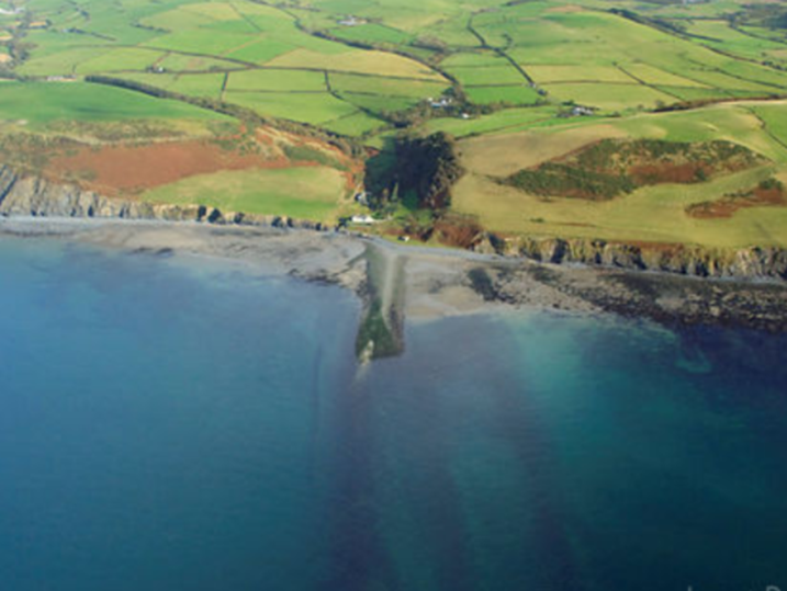
A feature of Ceredigion coast is the series of shingle ridges, the 'sarnau' or 'stone causeways'. The most prominent is Sarn Cynfelyn which can be clearly seen from the Ceredigion Coast Path between Borth and Aberystwyth. It extends out to sea for about 7 miles towards a point called Caer Wyddno (Gwyddno's Fort). The stone ridge of the 'sarn' (causeway) can be seen and landed on at low tide, but disappears again as the tide rises, as does Sarn Badrig (St Patrick's causeway) to the north, whilst Sarn Ddewi and Sarn Cadwgan are hidden under the waters of southern Cardigan Bay.
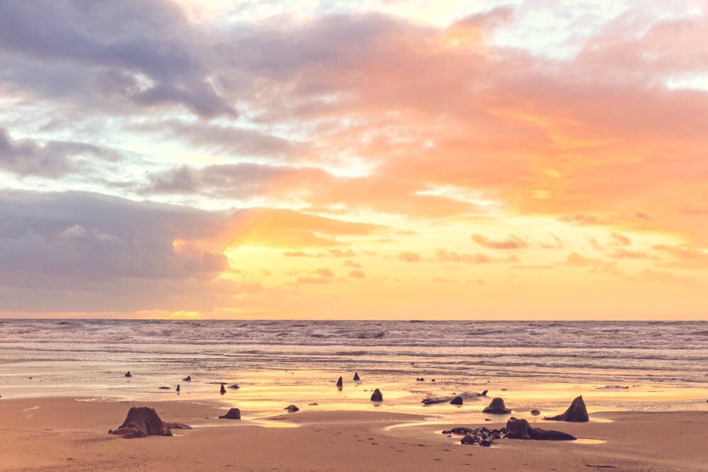
These 'sarnau' are moraines formed by receding ice sheets at the end of the last ice age, and their causeway like appearance may be the foundation of the legend of the lost lands of 'Cantre'r Gwaelod' (the 'sunken hundreds'), and the Irish lost City of Bannow. If you visit Borth or Ynyslas beach at low tide, especially after winter and spring storms when the sand is scoured from the beach, you'll find the remains of an ancient sunken forest and sometimes footprints from prehistoric times appear in the peat, only to disappear again.
A special landscape
Ceredigion's coastal cliffs and river estuaries provide a home and resting place for a variety of rare birds, colourful plants and lichens, perfectly adapted to their habitat. Winter migrants including Greenland Geese stop on the Dyfi, and summer brings Ospreys, the sea eagles from Africa, to nest and feed on fish in the marshes.
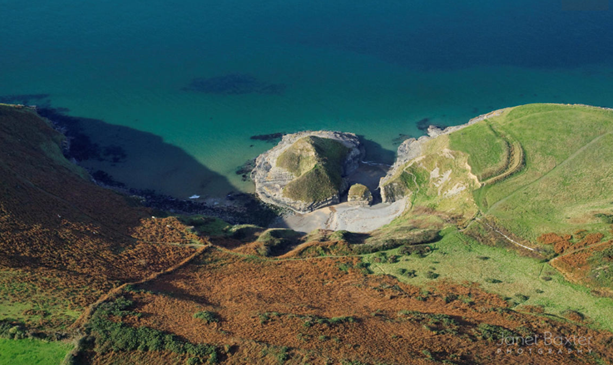
But the cliffs and rocks themselves deserve a closer look too, as the contorted folds and faults have been eroded and sculpted by the wind and sea to create sea caves and distinctive rock features such as Carreg Bica at Llangrannog and the Monk's Cave, south of Aberystwyth.

Ceredigion Heritage Coast
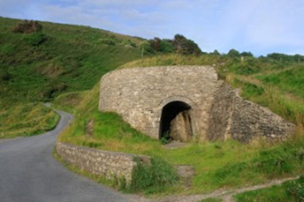
The Ceredigion coast has exceptional wildlife and a rich historical legacy which includes harbours, abandoned limekilns and several hillforts - mystical places to visit and imagine the past as you gaze across the sea and watch the sun set over the horizon.
Spot the limekilns along the Ceredigion Coast Path at Cwmtydu, Mwnt, Llangrannog and near Sarn Cynfelyn near Clarach. A series of four kilns - testimony to a thriving trade between mariners and farmers - can be seen between Llanon Llansanffraid and Llanrhystyd.
Visit Pendinas hillfort that lies between the two rivers at Aberystwyth for one of the best panoramas of Cardigan Bay from the largest Iron Age defensive site along the coast. You can follow the Ceredigion Coast Path north from Llangrannog to discover Pen y Badell, 'top of the frying pan' - a name that perfectly describes the distinctive shape of the peninsula and hill upon which a promontory fort lies.
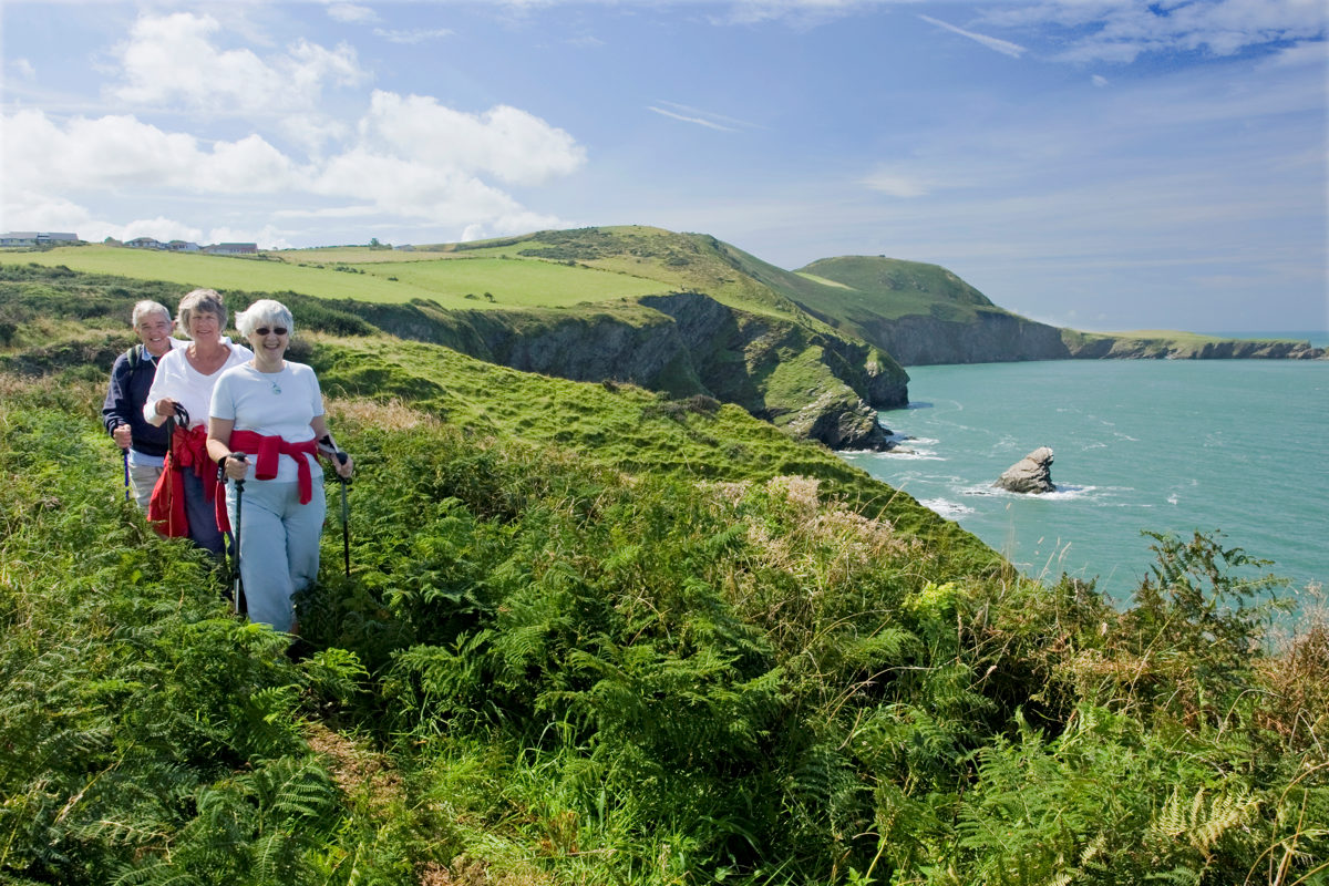
Follow the Ceredigion Coast Path to discover secret places such as Castell Bach - literally 'little castle' - before the sea finally snatches it away forever.