The landscape of Ceredigion has been formed over millennia by dramatic movements of ice and the power of water sculpting deep gorges in the uplands and lush river valleys in the lowlands. But the hand of man can also been seen as the power of water has been harnessed in reservoirs and diverted for industry and pleasure.
The Dyfi Biosphere
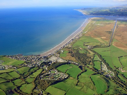
The Dyfi river forms the natural northern boundary of Ceredigion, and is also considered by many to be the boundary between north and south Wales. The great estuary of the Dyfi is flanked by the mountains of Snowdonia and the Cambrian range to the north and east, whilst on its southern banks in Ceredigion is the largest extent of lowland bog in Britain - Cors Fochno - rich in wildlife and steeped in legends.
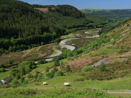
From source to sea along the Rheidol river
The river Rheidol rises at Llyn Llygad Rheidol (the lake of the eye of the Rheidol) on the slopes of Pumlumon mountain, the highest point in the Cambrian Mountains. The Rheidol has one of the shortest, steepest descents in Wales, through a dramatic woodland landscape.
Ystwyth valley
According to the UK’s official mapping agency, The Ordnance Survey, the centre point of Wales is on a hillside above the upper reaches of the Yswyth river in Cwmystwyth.
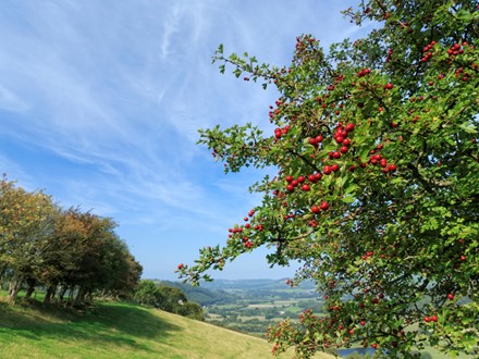
Aeron valley and Mynydd Bach
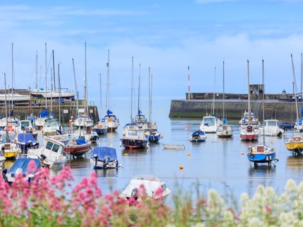
The Aeron valley stretches from the colourful harbour town of Aberaeron on the Ceredigion coast, to its source at Llyn Eiddwen near the summit of Mynydd Bach. The Arth ( the 'bear') also rises on these slopes and tumbles a short seven miles from source to sea at Aberarth.
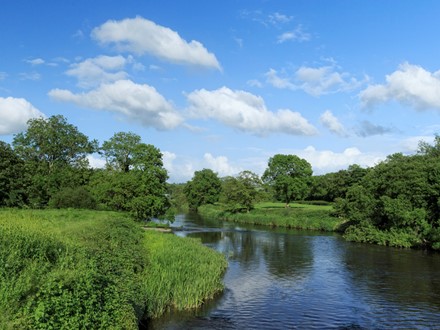
The Teifi and its tributaries
The Teifi defines the southern border of Ceredigion. Rising at the remote Teifi Pools in the Cambrian Mountains, it progresses through wildlife rich wetlands and farmland, and speeds through narrow gorges before reaching the sea at Aberteifi - the historic port town of Cardigan. Bronze and Iron Age hillforts and burial cairns litter the hills along its banks, whilst the river itself, is one of the most renowned fishing rivers in the country.